🌍✨ Big GreenTV Update: The coast is clear-er: NOAA unveils new land cover maps 900 times greater in detail
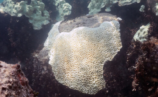
The quick take: This image is of a salt marsh in coastal Maine.
The high-resolution, land cover mapping NOAA has done for the state captures the tidal creeks, pannes, pools and vegetation with far greater precision and detail than past, 30-meter mapping. 💚
⚡ Why this matters right now
This points to real-world momentum — cleaner tech, smarter systems, and practical wins people can actually feel. At GreenTV, we focus on what works and what scales. 🚀
🙌 What to watch next
- 📌 Key signal: This image is of a salt marsh in coastal Maine. The high-resolution, land cover mapping NOAA has done for the state captures…
- ✅ Watch for measurable follow-through, not just announcements.
- 🔎 Share the most practical takeaway with your community.
🌱 Progress is real — let’s keep building it.
Truth. Solutions. Action. 🤝
Source: NOAA News